Start here with Part I: The Undiscovered Peninsulas of Ireland.
Day 4. Ring of Kerry on Iveragh Peninsula.
We spent a long time discussing the Ring of Kerry during the planning of the trip and it all came down to this not-very common itinerary question - clockwise or counterclockwise? I can’t recall a single other time we had a similar debate. There is a good reason the direction you drive on this peninsula is important. Ring of Kerry is one of the most popular day trips in Ireland and we were visiting during the most touristy time of the year when its narrow roads were full of giant bus coaches, all traveling in a counterclockwise direction. By the way, when I say “narrow”, I mean – this would be a one-way road in any reasonable country. But Ireland is not that country, so, our options were these – drive counterclockwise and get stuck behind the slow-moving buses or drive clockwise and face the buses head-on in tight curves of the road. We finally settled on driving counterclockwise to avoid sharing the road with the coaches and leaving very early in the morning to avoid getting stuck behind them. This strategy worked up pretty well for us and we ended up feeling safe and doing the day trip at our preferred pace.
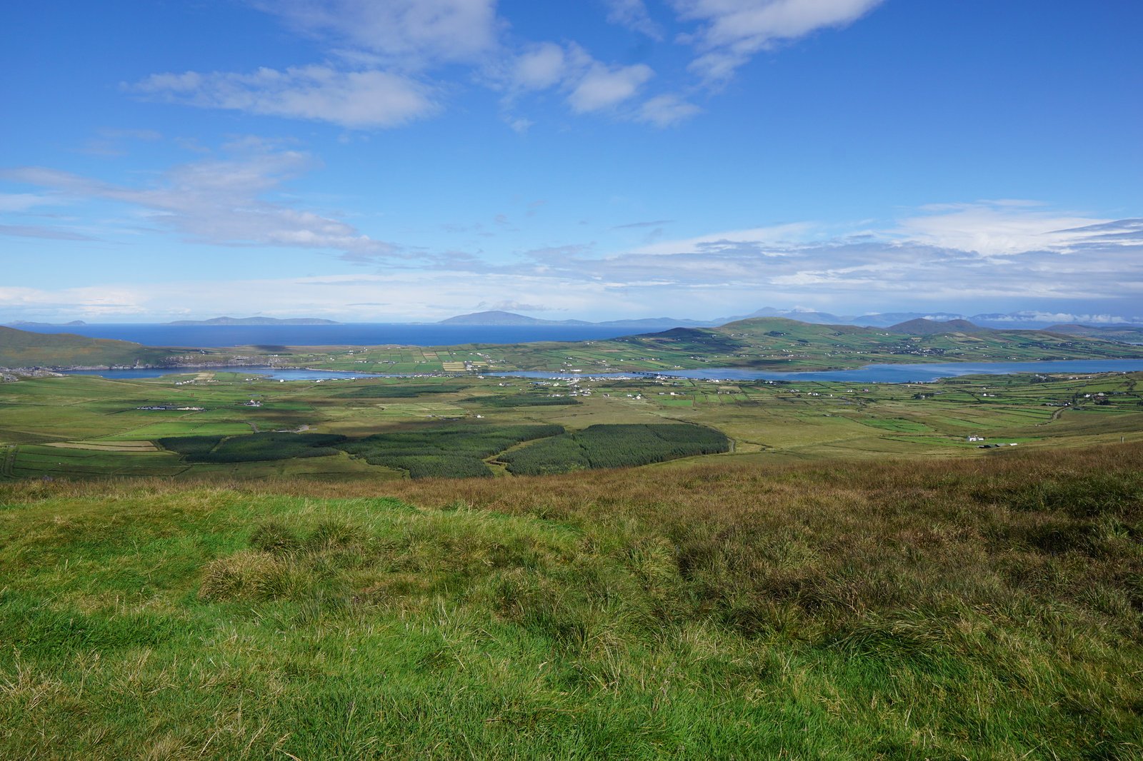
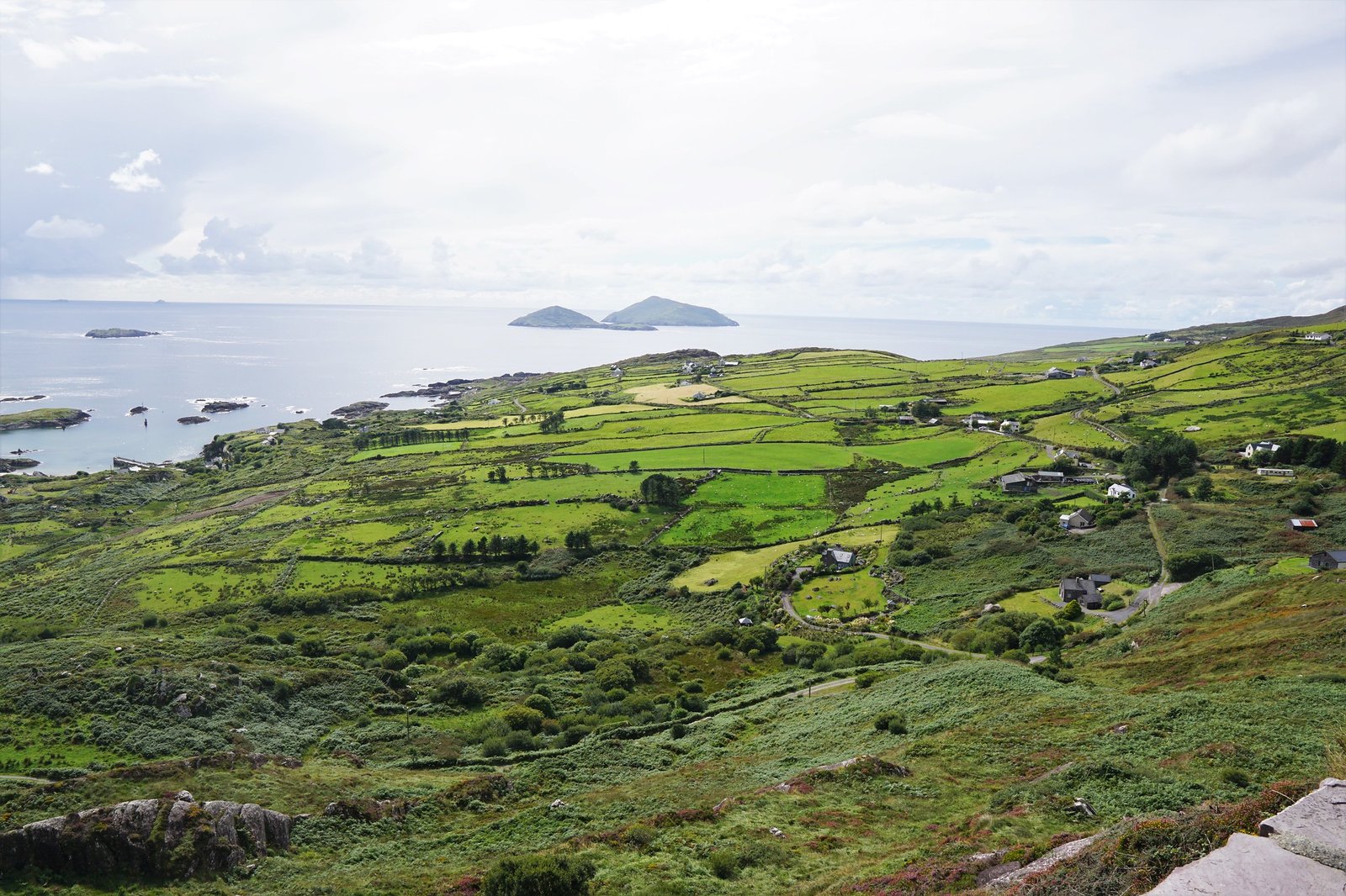
Ring of Kerry is not just another narrow Irish route. It takes you through quintessential Ireland – beautiful harbors, gorgeous, if somewhat cold beaches, and stunning scenery from green rolling hills to the stark beauty of the sea-weathered Skellig Islands. In one day, you travel from deep forests to the wild Atlantic, from rugged landscapes to picturesque little villages. But the route is more than just the sum of its parts, it’s an experience from the first kilometer to its last. And there are enough surprises scattered through the peninsula, to keep a tourist on their toes.
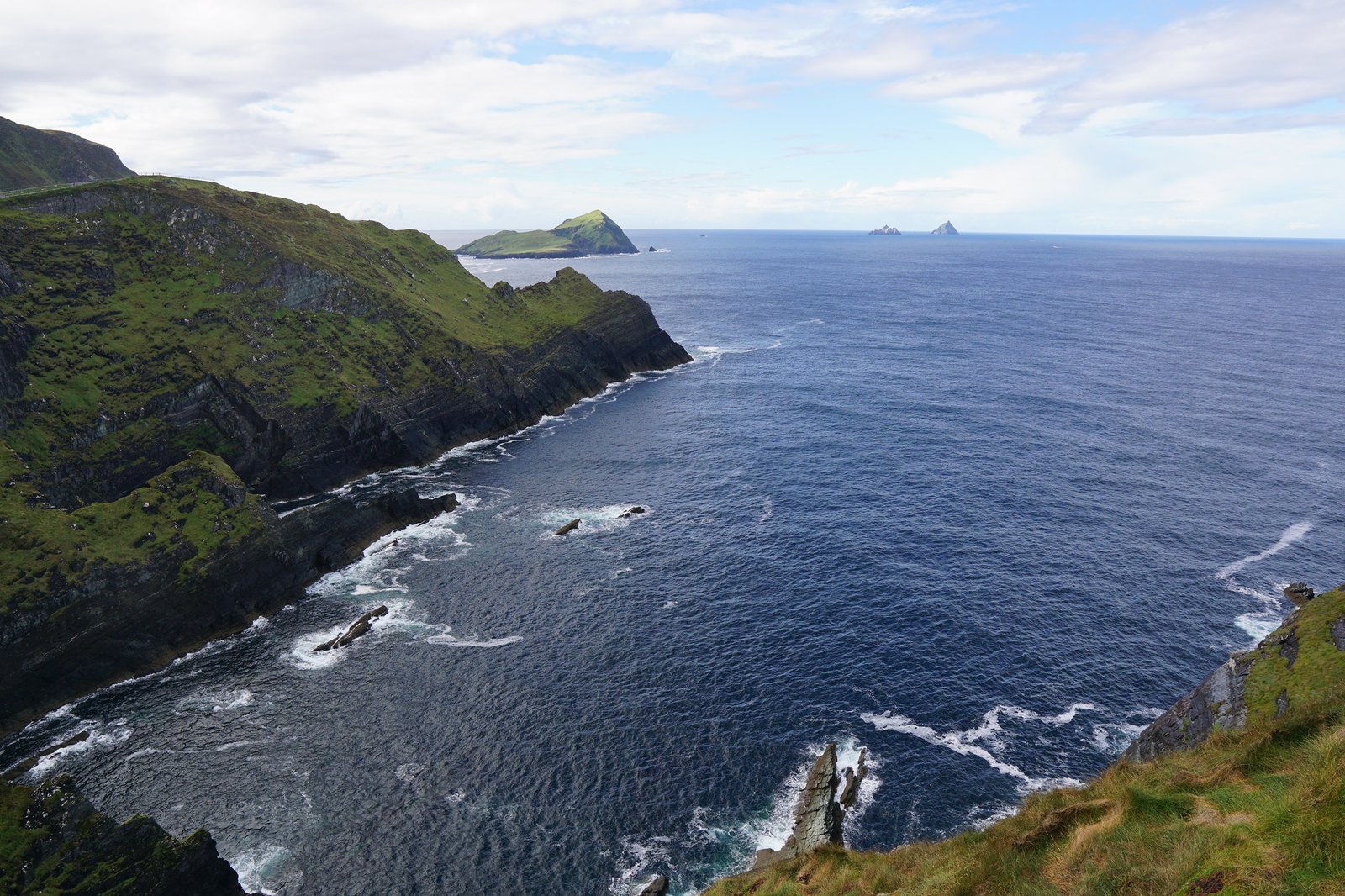
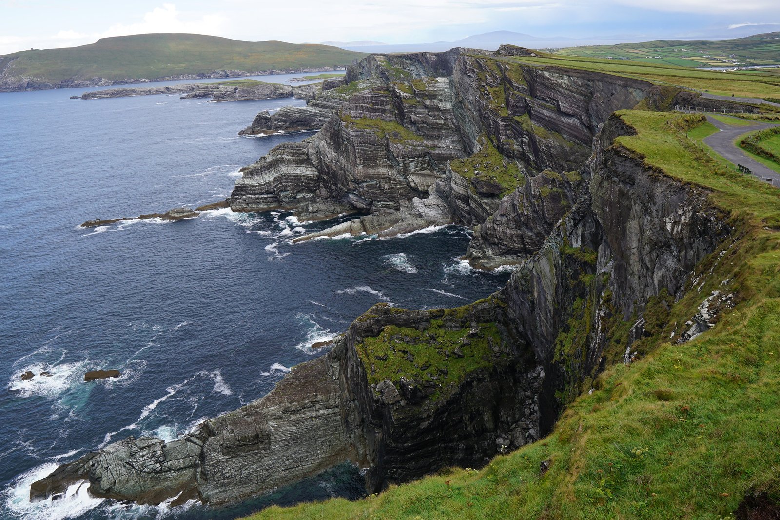
The first surprise was that we had to pay an entrance fee at Kerry Cliff’s View stop simply for the view. It seemed so strange – there are gorgeous views everywhere, so why pay for this specific spot? Turns out, the view of Skellig Islands is incomparable and the cliffs overhanging the waters of the wild Atlantic offer some incredible photo opportunities. On our way out, we bought some hot chocolate - “World’s Best!” according to the sign.
At one of the next stops, by a large beach, we spotted a mobile home built like a giant oak barrel lying on its side, which upon closer inspection turned out to be a wood-fired sauna. As we bundled into our jackets, fleeces, scarves, and hats to protect ourselves from the cold Atlantic breeze, an old man in only his swimming shorts, his skin all red and blotchy from the heat of the sauna, waddled into the beach and straight into the freezing waters. As he dipped and dived and swam in the water, we couldn’t help but marvel at his apparent resilience to heat and cold. We, on the other hand, couldn’t handle even a little bit of rain and the moment it started drizzling, went inside Sneem Hotel for some delicious lunch, styled as afternoon high tea. The rain didn’t last and afterward, we were treated to a full end-to-end Irish rainbow, probably with a pot of gold on both sides.
Another surprise was how much raw, wild beauty laid off the main Ring of Kelly drive. We drove down part of the Skellig Ring, an extension to the Ring of Kelly route, where the air was quiet and serene, and the views were absolutely glorious. By the end of the day, we got to Dingle town exhausted and overwhelmed and nursed ourselves back to health with apple cider, traditional live music, and the lively atmosphere of yet another Irish pub.
Day 5. Dingle Peninsula
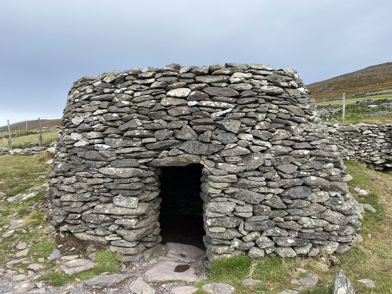
We spent the night in a country house just outside the town of Dingle, with the windows of our bedroom facing straight into the gorgeous view of the Skellig islands. Just as the day before, we started our drive early in the morning, to avoid crowds and traffic. The skies were overcast and gloomy and the road was mostly empty. It was the perfect atmosphere to go back in time, back to 1200 AD. Our first stop was Ringfort, an ancient farmstead in a middle of a wide field, consisting of numerous huts built of grey slabs of stone. It was easy to see why the early settlers used stone to build their huts and fences – it was the only freely available building material for miles. There were no trees to be seen anywhere. These settlements are known as beehive huts, for the slanting stones were laid in a circle with a downward and outward tilt, resembling a beehive.
I must admit that my initial reaction to Victor proclaiming “Beehive huts!” was to look for the bees. Don’t tell anyone.
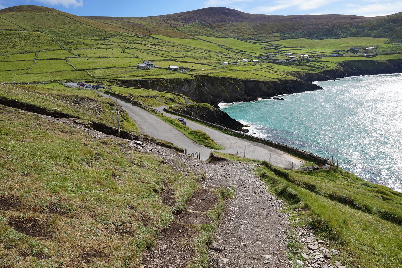
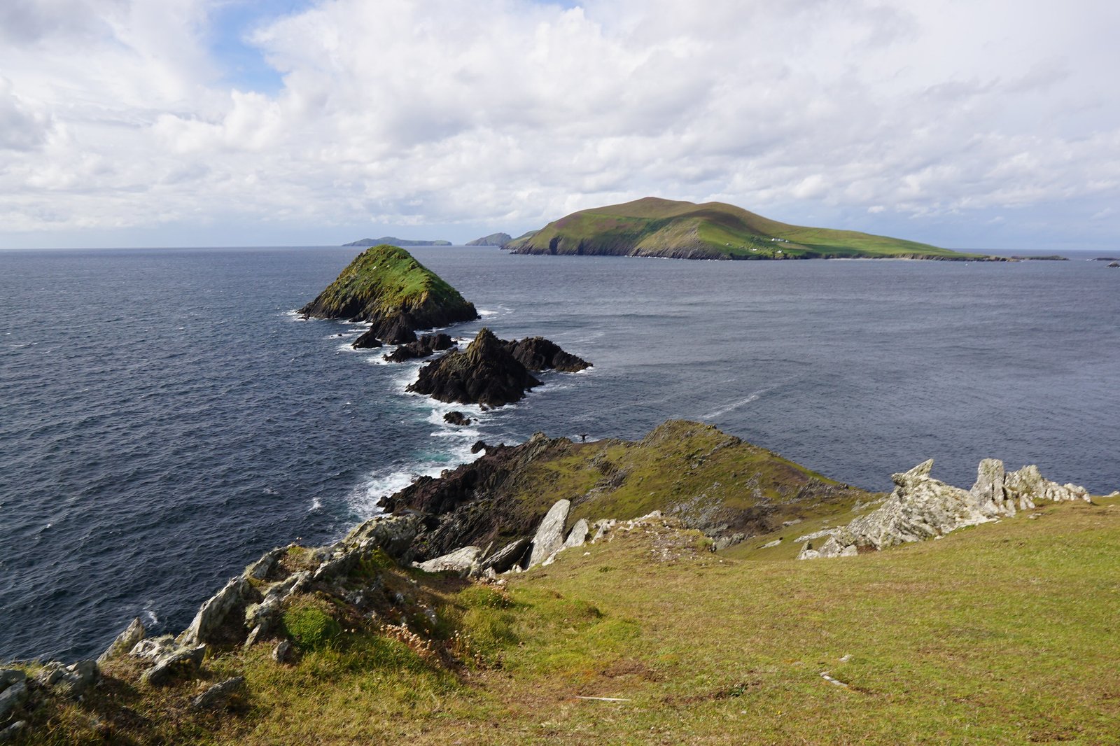
As we drove through the peninsula, we saw similar stone construction everywhere – newer fences, old ruins, and more restored beehive huts. At Dunmore Head, we got out of the car and started hiking – up the narrow path, across a field, over a stone fence, and finally towards the cliffs protruding into the Atlantic. I was a little confused to see a sign simply proclaiming, “Star Wars”. Turns out, this was one of the filming locations of Star Wars: The Force Awakens. I didn’t recognize the landscape, but I can easily imagine a Jedi battle on the edge of dramatic cliffs or enormous alien slugs crawling out of a raging sea below. The closer we got to the edge, the stronger the winds swirled around us, threatening to knock us on our backs. We spent quite a bit of time there, sitting in the grass, listening to the wind singing around us and the waves crashing below.
As we kept driving, the gloomy morning turned into a very glum afternoon. It drizzled a bit, but not enough to deter us from undertaking the next hike up a hill. As we walked, occasional drops landed on my hat and back and the wind grew chillier and chillier. But the view around us (the view I couldn’t capture because I don’t like trying to use my camera in the rain) was captivating enough to keep me moving. If anything, the light rain only added to the brooding atmosphere of this lonely and silent hill. I imagined that once we got to the top, I would see a glittering green landscape, encroaching mist, and fitful skies above. My first step at the summit was met with a face full of raging rain and a gust of wind that threatened to blow me off the hill. Apparently, we were shielded from the brewing storm by the side of the hill which we climbed, and only on top did we realize the colossal mistake we made. We ran down the hill, the rain pounding mercilessly at our back, the wind trying to rip our hats off.
We ended up drying off at The Great Blasket Centre and Island Museum, and I mean literally. I stripped off my outer layers and hung them to dry on some random chair in the museum café. The Museum was a hit, and I already wrote a bit about it in a previous post. Afterward, still trying to hide from less than-pleasant weather, we visited a pottery studio where I examined every cup, plate, teapot, and saucer, as I always do. The rain was still drizzling on and off by the time we visited the impressive Galarus Oratory, the name which ironically enough, some historians translate as “house or shelter for foreigners”. We did in fact shelter inside, so I am convinced these historians know what they are talking about.
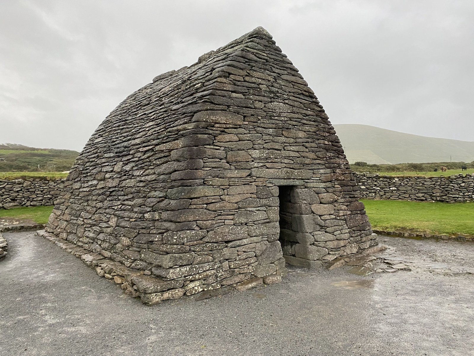
Considering that this was the only day we got caught in the rain out of ten days in Ireland, we felt pretty lucky. Lucky to have visited such a beautiful country, lucky to have explored all five less-than-touristy peninsulas, lucky to have stayed relatively dry. Maybe the luck of the Irish applies to the “foreigners” in Ireland as well.

